
4 Ways to Look Up The most accurate way to check land use planning in the US Many people are unable to build houses or carry out ownership transfers and land-use purpose changes because they unknowingly purchase land that falls under planning zones. To avoid similar situations, Batdongsan.com.vn outlines below some simple and commonly used methods to check land planning information today.
Using online land planning lookup tools is an effective and time-saving way to check land planning status. With this method, you can search for planning information directly on the official electronic portals of the provincial People’s Committees or on specialized planning websites.
Checking Planning Information on the Electronic Portal of Provincial/City People’s Committees:
Currently, most provinces and cities have their own electronic portals to provide local residents with information, including land use planning details. Therefore, if you don’t know where to find the planning maps, simply visit the electronic portal of the provincial/city People’s Committee where the land is located and follow the instructions provided.
If you don’t know how to check planning on the website, scroll down to the bottom and call the hotline number for further guidance.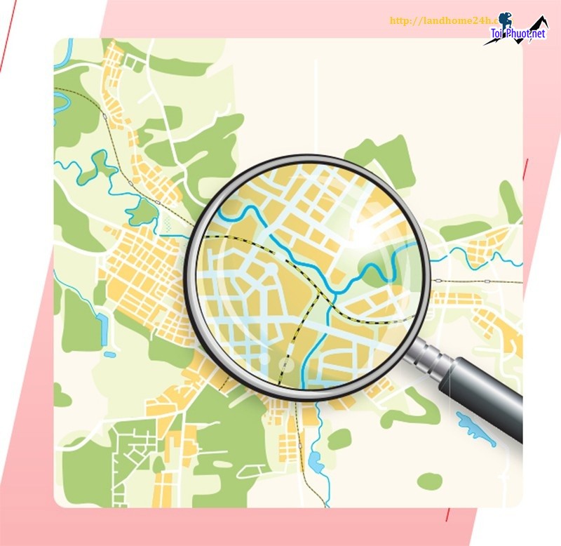
4 Ways to Look Up The most accurate way to check land use planning in the US
Examples of planning lookup websites in major provinces/cities:
Hanoi: http://qhkhsdd.hanoi.gov.vn/ or https://quyhoach.hanoi.vn/
Ho Chi Minh City: https://thongtinquyhoach.hochiminhcity.gov.vn/ or https://qhkt.hochiminhcity.gov.vn/
Binh Duong: http://quyhoachxaydung.binhduong.gov.vn/
Dong Nai: https://stnmt.dongnai.gov.vn/
Hai Phong: https://hph.mplis.gov.vn/og/KhaiThacBanDo
At these portals, land use planning details are updated by district, along with current status maps and planning maps for easy public tracking. However, since online land planning lookup tools are not widely developed in many localities, this method may not be applicable in every case.
iLand BRVT app for Ba Ria – Vung Tau province. Download HERE.
Dong Thap Land Use Planning app. Download HERE.
DNAILIS app for Dong Nai province. Download HERE.
Apart from the People’s Committee portals, some other websites also provide land planning information for provinces and cities.
Examples include:
Ho Chi Minh City Department of Planning and Architecture website: https://qhkt.hochiminhcity.gov.vn/ban-do-quy-hoach.html
Ho Chi Minh City Planning Information Portal: https://thongtinquyhoach.hochiminhcity.gov.vn/ban-do-quy-hoach
Private enterprises’ land planning platforms:
Meey Map: https://meeymap.com/
Thongtin.Land: https://app.thongtin.land/
Remap: https://remaps.vn/
Guland: https:/guland.vn/soi-quy-hoach
According to Article 11 of Circular 23/2014/TT-BTNMT, planning information is directly recorded in the “Notes” section of the Land Use Right Certificate, clearly indicating which part of the land (in square meters) falls under which planning category, whether compensation will be granted if land is recovered, etc.
For example, if a portion of the land falls within a safety corridor for infrastructure projects as announced in the local land use plan, the “Notes” section will specify: “The plot contains … m² within the safety corridor of … (name of the project).”
4 Ways to Look Up The most accurate way to check land use planning in the US
Residents can visit the Natural Resources and Environment Office of the district where the land is located to inquire specifically about planning information. Based on the property details provided, officials will look up the planning maps and inform whether the land is in a planning zone.
This method is safe and highly accurate but may be time-consuming and inconvenient, especially if the person lives far from administrative centers. If many people request planning information simultaneously, it could also cause delays due to heavy workload.
According to Article 11 of Circular 34/2014/TT-BTNMT, to request land information (including planning data), people must submit a request form to the Land Data and Information Center under the General Department of Land Administration or the Land Registration Office.
Requesting planning information via this method is free of charge.
Download the land data request form here.
In addition to understanding how to check land planning information, buyers may want to learn basic concepts such as: what is planned land, definitions of land use planning maps, and common types of planning maps.
Based on Clauses 2 and 3, Article 3 of the 2013 Land Law, land use planning means creating plans for land use by localities for specific purposes in different periods. Planned land refers to land included in the State’s land use plan for that area, aimed at purposes like economic development, social services, security, national defense, environmental protection, etc.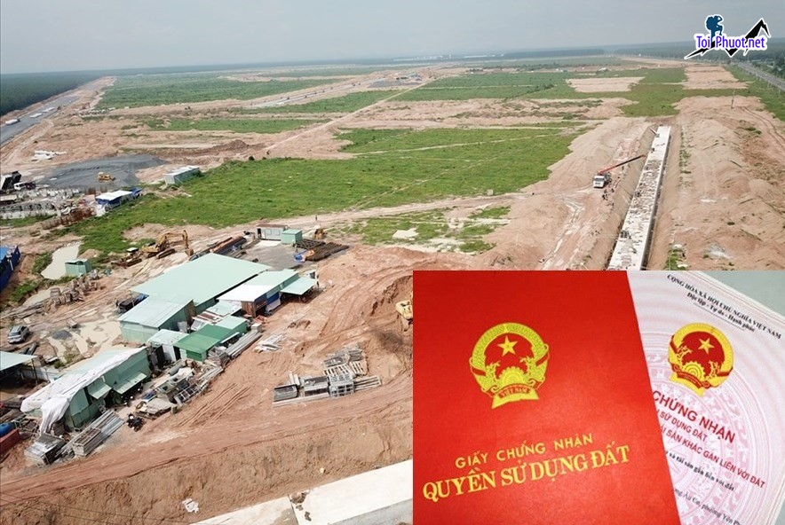
In other words, planned land is land within the locality’s land use plan, typically allocated for projects like roads, schools, hospitals, etc. Land use plans are decided based on factors such as land fund and local land use status. Note that planning information may change over time to suit actual conditions.
See also: What is Planned Land? 6 Common Questions About Planned Land.
To check if land is planned, residents can consult the land use planning map. This map shows land division, usage indicators, infrastructure layouts, etc., according to the established plan.
By reviewing the map, residents can learn critical information such as whether the land they intend to buy falls under a planning zone, permitted construction floors, available surrounding amenities, and more.
Detailed construction planning map at 1:500 scale (shows layout of investment projects and serves as the basis for project design and construction).
Planning map at 1:5000 scale (shows functional zones, traffic planning, boundaries of land allocated for infrastructure development, etc.).
For Investors:
Planned land is designated by the State for public purposes, so long-term construction is not permitted. Consequently, when land is marked as planned, few people pay attention to it, and the price is usually lower than market value.
However, current planning law requires the State to adjust plans every five years to reflect reality; if a zone is no longer appropriate, it must be removed. This rule leads some speculative investors to take risks, hoping for future reclassification or removal of planning, which could result in profit.
Still, this is a gamble. If the plan is indeed changed or canceled, investors could make attractive gains. Otherwise, they risk losing capital or even bankruptcy by investing in “stalled” planned land, which cannot be used or sold.
“In reality, planning adjustments are slow and complicated. So while buying planned land can be advantageous, it carries high risks,” said Mr. Nguyen Thanh Toan, Deputy Director of Ho Chi Minh City Department of Planning and Architecture.
For Actual Residents:
People buying land for long-term residence need to carefully check if the land is under planning, as it can limit certain rights.
First, they cannot freely build, renovate, or repair houses or associated structures on land slated for recovery. All changes must be approved by the competent authorities. Specifically, renovation or construction requires a temporary permit, with a commitment to remove the structures if the State recovers the land according to the plan, without compensation for the construction.
4 Ways to Look Up The most accurate way to check land use planning in the US
Additionally, ownership transfer and sale rights may be limited when land is planned. Before a recovery decision is issued, the owner’s transfer rights are not legally restricted but finding buyers is difficult.
After a recovery decision, the owner cannot transfer the land and must continue to use it only for the designated purpose announced by authorities.
This article has provided information on the concept of planned land, planning maps, and ways to check planning information before real estate transactions to protect buyers’ rights. Together with other articles on Batdongsan.com.vn, we hope readers gain useful insights into the real estate market.
Nguồn tin: batdongsan.com. vn
Những tin mới hơn
Những tin cũ hơn
 Cho Thuê Lều Du Lịch Giá Rẻ Ở Tại Phú Yên
![[Flycam] Núi Đá Bia, điểm du lịch sinh thái ở Phú Yên](/assets/news/2016_10/nui-da-bia-diem-du-lich-sinh-thai-o-phu-yen13.jpg) [Flycam] Núi Đá Bia, điểm du lịch sinh thái ở Phú Yên
[Flycam] Núi Đá Bia, điểm du lịch sinh thái ở Phú Yên
 Ngẩn Ngơ Vẻ Đẹp Tinh Khôi Của Hot Girl Tú Linh Khi Diện Áo Cưới
 Cho thuê loa kẹo kéo vali du lịch giá rẻ tại Tuy Hòa - Phú Yên
 Spa ở tại Tuy Hòa Phú Yên bạn nên chọn để làm đẹp và chăm sóc da
 Địa Điểm Chụp Ảnh Cưới Đẹp Ở Phú Yên
 Thuê Xe Máy Tuy Hòa - Thuê Xe Máy Phú Yên Giá Rẻ
 Cây hoa đào, mai, liễu đèn led, thanh lý giá rẻ toàn quốc
 Suối nước khoáng Phú Sen, điểm du lịch nghĩ dưỡng ở Phú Yên
 Áo cưới Phú Yên Sang Trọng Quyến Rũ
 5 quán Nem Nướng Nha Trang Nhà Bè ăn là ghiền Sài Gòn Hồ Chí Minh
 5 quán Nem Nướng Nha Trang Cần Giờ ăn là ghiền Sài Gòn Hồ Chí Minh
 5 quán Nem Nướng Nha Trang Củ Chi ăn là ghiền Sài Gòn Hồ Chí Minh
 5 quán Nem Nướng Nha Trang Hóc Môn ăn là ghiền Sài Gòn Hồ Chí Minh
 5 quán Nem Nướng Nha Trang Bình Chánh ăn là ghiền Sài Gòn Hồ Chí Minh